Core Visualizer
| RAMADDA provides a Core Visualizer facility that displays one or more
core images and their associated depths.
|
Multiple core images can be displayed under a Geo Image Collection. To create:
- Navigate to some area on your RAMADDA repository.
- From the Entry popup menu choose "Pick a type..."
- From the big list of entry types search for "Geo Image" and select the "Geo Image Collection" entry type
- Create the new entry
The Geo Image Collection acts as a Folder under which the Geo Core Image files can be added.
Any image can be uploaded as a Geo Core Image entry.
- From the Geo Image Collection entry popup menu choose "Geo Core Image".
- Note - you can upload a Core Image anywhere. Just choose "Pick a type..." and search for "Geo Core Image"
- Upload the image. Optionally you can manually specify a top and bottom depth.
- By default the Core Visualizer will be displayed. You can not display it by setting the Show Visualizer setting to No
RAMADDA provides special support for importing a collection of Core images and ancillary metadata
from the Prediktera Breeze analysis package. There are two ways to do this - single files and
importing a .zip file.
- From the Geo Image Collection entry go to the Entry popup menu and select "Geo Core Image".
- From the new Geo Core Image form upload your core image. You can change the name of the entry, etc.
- From the new Core Image entry popup menu choose "Geo Breeze XML" and upload the metadata.xml file
- The depth and resolution metadata should be extracted from the XML file and added to the Core Image entry
To upload multiple image files along with their respective XML files
create a .zip file (e.g. core.zip) of the images and metadata. The .zip file
should be of the form:
228/
228/measurement.jpg
228/measurement.xml
229/
229/measurement.jpg
229/measurement.xml
230/
230/measurement.jpg
230/measurement.xml
...
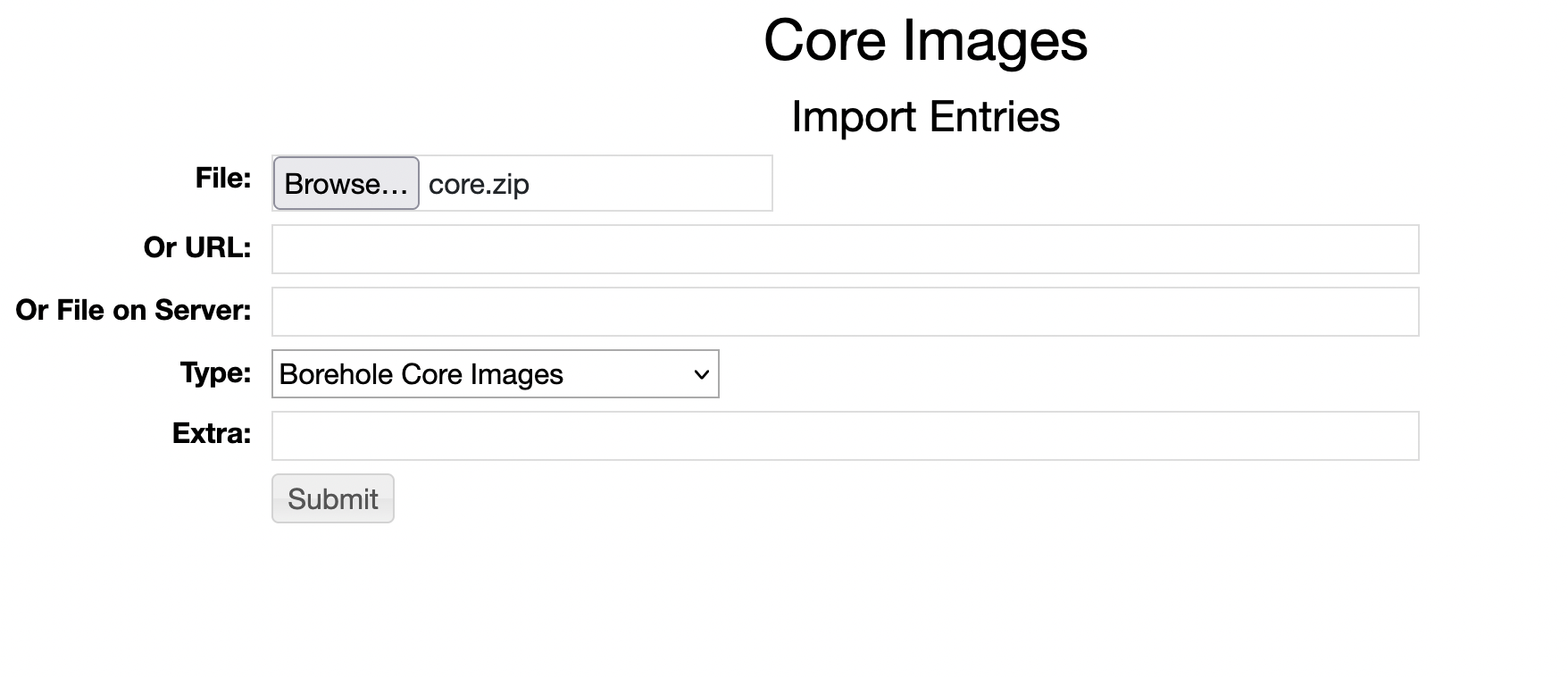
From the Geo Image Collection entry go to the Entry Import menu and specify the .zip file.
Under "Type" select Borehole Core Images:

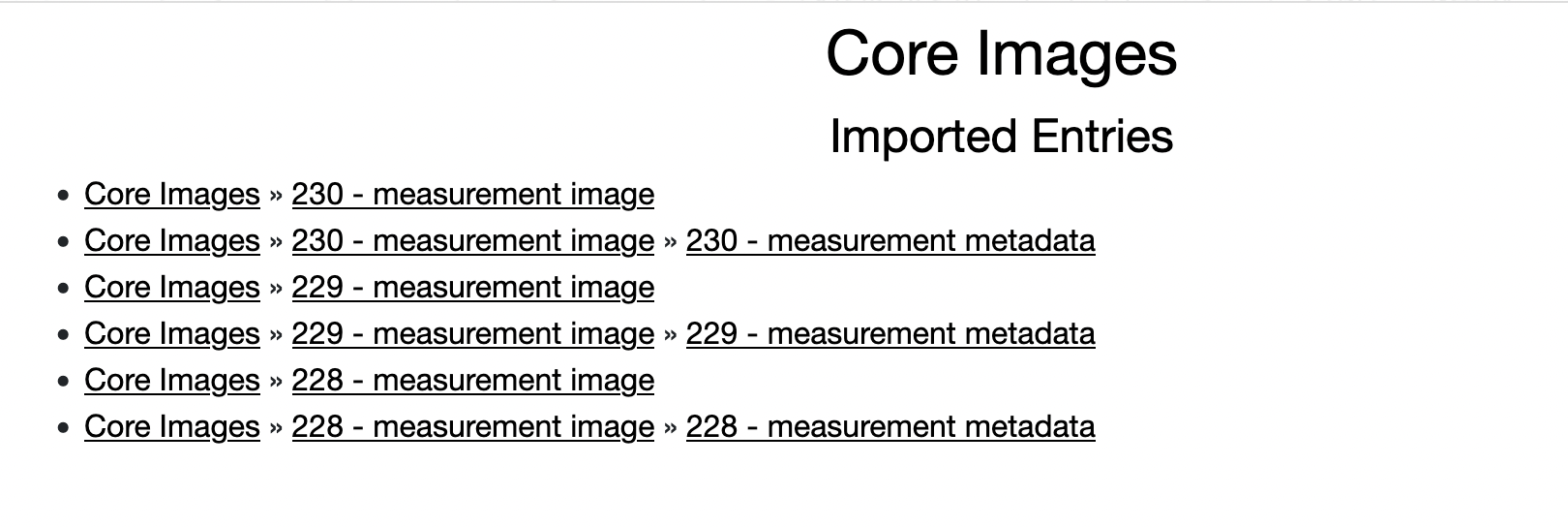
This results in the following entry structure. Each of the image files will be
added as a Geo Core Image entry and renamed with its
zip directory name. Each of the measurement.xml files will be added as a Geo Breeze XML file.
When viewing the core image entry the depth registration from the XML file should be shown.


